
The Eastern Pacific Ocean is experiencing a weak La Nina this fall and Colorado Springs can expect warmer and windier weather conditions than normal.
According to the National Oceanic and Atmospheric Administration (NOAA), there is a 40 to 50 percent chance that Colorado Springs will experience warmer-than-average temperatures during Nov., Dec. and Jan.
La Nina is a phase of the El Nino Southern Oscillation (ENSO) climate cycle caused by cooler-than-average temperatures in the Equatorial Pacific off the coast of Peru, according to Associate Professor of Geography and Environmental Studies Christine Biermann.
The National Weather Service defines “cooler-than-average” as temperatures that are at least 0.9 degrees Fahrenheit cooler than usual for at least a month, which was the case in Sept., according to KOAA News.
“It seems like [cooler than average temperatures in Peru] maybe wouldn’t have a great effect globally, but it really sets into motion changes that affect the weather and climate across the globe,” Biermann said.
During a La Nina winter, the jet stream— strong, atmospheric winds that move across the U.S. from west to east— shifts northward, moving the storm track northward, according to Biermann.
As explained by KTTV 11, Colorado is a transition state between cooler air in the northern U.S. and warmer air in the south, making the impact less extreme.
Colorado Springs experienced a La Nina winter in 2024, but the effects were opposite of what was expected, since the mountains were drier while the Front Range received more snow. The weaker impacts of La Nina in Colorado makes it harder to predict.
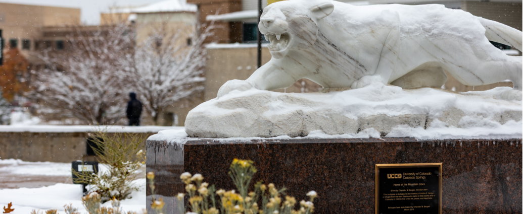
Photo via the Scribe Archives.